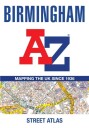
Birmingham A Z Street Atlas
Navigate your way around Birmingham with this detailed and easy-to-use A-Z Street Atlas. Printed in full-colour, paperback format, this atlas contains 164 pages of continuous street mapping....
fra 129,-
På lager i 1 butikker
Kjøp på nett
Fjernlager
Frakt og levering
Sammenligning av produkter
Her finner du de fire mest populære produktene i denne kategorien i en lignende prisklasse som det du ser på nå.

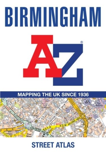
Birmingham A Z Street Atlas
129,-


Produktinformasjon
Navigate your way around Birmingham with this detailed and easy-to-use A-Z Street Atlas. Printed in full-colour, paperback format, this atlas contains 96 pages of continuous street mapping. Coverage extends to include: Wednesbury, Coleshill, Knowle, Alvechurch, Rubery, Smethick, and West Bromwich.There are large scale city centre maps of Birmingham and Wolverhampton and a West Midlands rail and Midland Metro transport connections map. Postcode districts and one-way streets are featured on the mapping. The index section lists streets; selected flats, walkways and places of interest; place and area names; National Rail and Midland Metro stations; hospitals, NHS Walk-in Centres and hospices.
Spesifikasjon
| Produkt | |
|---|---|
| Produktnavn | Birmingham A Z Street Atlas |
| book typ | boker, hobby og fritid, reise, europa |
Populære produkter
Pris og prishistorikk
Akkurat nå er 129,- den billigste prisen for Birmingham A Z Street Atlas blant 1 butikker hos Prisradar. Sjekk også vår topp 5-rangering av beste bøker for å være sikker på at du gjør det beste kjøpet.