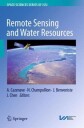
Remote Sensing and Water Resources
This book is a collection of overview articles showing how space-based observations, combined with hydrological modeling, have considerably improved our knowledge of the continental water cycle and its sensitivity to climate change. Two main issues are highlighted: (1) the use in combination of space observations for monitori......
fra 1 349,-
På lager i 2 butikker
Kjøp på nett
Fjernlager
Frakt og levering
På lager
Frakt og levering
Sammenligning av produkter
Her finner du de fire mest populære produktene i denne kategorien i en lignende prisklasse som det du ser på nå.


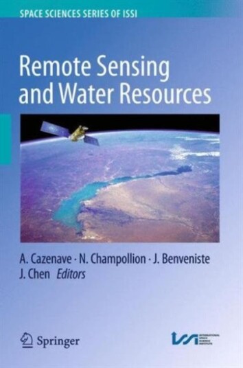
Remote Sensing and Water Resources
1 349,-


Produktinformasjon
This book is a collection of overview articles showing how space-based observations, combined with hydrological modeling, have considerably improved our knowledge of the continental water cycle and its sensitivity to climate change. Two main issues are highlighted: (1) the use in combination of space observations for monitoring water storage changes in river basins worldwide, and (2) the use of space data in hydrological modeling either through data assimilation or as external constraints. The water resources aspect is also addressed, as well as the impacts of direct anthropogenic forcing on land hydrology (e.g. ground water depletion, dam building on rivers, crop irrigation, changes in land use and agricultural practices, etc.). Remote sensing observations offer important new information on this important topic as well, which is highly useful for achieving water management objectives.Over the past 15 years, remote sensing techniques have increasingly demonstrated theircapability to monitor components of the water balance of large river basins on time scales ranging from months to decades: satellite altimetry routinely monitors water level changes in large rivers, lakes and floodplains. When combined with satellite imagery, this technique can also measure surface water volume variations. Passive and active microwave sensors offer important information on soil moisture (e.g. the SMOS mission) as well as wetlands and snowpack. The GRACE space gravity mission offers, for the first time, the possibility of directly measuring spatio-temporal variations in the total vertically integrated terrestrial water storage. When combined with other space observations (e.g. from satellite altimetry and SMOS) or model estimates of surface waters and soil moisture, space gravity data can effectively measure groundwater storage variations. New satellite missions, planned for the coming years, will complement the constellation of satellites monitoring waters on land. This is particularly the case for the SWOT mission, which is expected to revolutionize land surface hydrology.Previously published in Surveys in Geophysics, Volume 37, No. 2, 2016
Topplisten: Other Brand Bøker
Spesifikasjon
| Produkt | |
|---|---|
| Produktnavn | Remote Sensing and Water Resources |
| Merke | Other Brand |
Populære produkter
Pris og prishistorikk
Akkurat nå er 1 349,- den billigste prisen for Remote Sensing and Water Resources blant 2 butikker hos Prisradar. Sjekk også vår topp 5-rangering av beste bøker for å være sikker på at du gjør det beste kjøpet.
Harry Potter Notatbok – A5 med Plysjtrekk og PennStitch Dagboksett – med Dekor og PompongpennLEGO Tegneblokk – Giant Colouring PadSubstantive Protections in International Investment Law
Mary E. HartStar Wars: A New Hope: The Official Funko POP! Coloring BookInterrogating Female Pop Star DocumentariesMidwest Emo